Drone Survey Services
Veron Building Consultants provides drone survey services for commercial and residential buildings by using 101 certified drone pilots. Our drone surveys eliminate the need for scaffolding and other costly access equipment on site. We use advanced drone technology to spot imperfections in spaces that need a closer look and create comprehensive reports with high-definition images and 4K video content. Plus, we’re equipped to secure permissions for drone surveys in regulated zones when necessary.
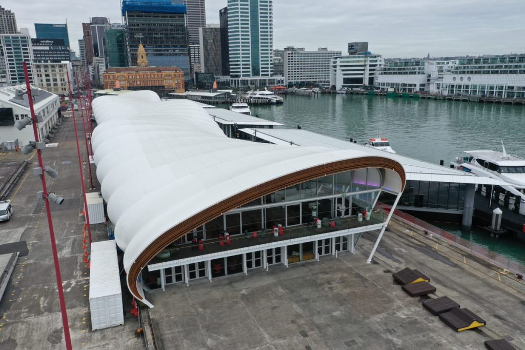
Drone Surveyors Auckland
Drone surveying offers a safe and cost-effective method of building and roof inspection, removing the need for scaffolding and other expensive access equipment. We utilise industry-leading technology to identify defects and areas that require closer inspection, our surveyors then provide a detailed report including high-definition photos. Our drone pilots are 101 certified and can arrange authorisation to fly in controlled areas if required.
The rapid development of drone technology has made surveying buildings safer than ever as it enbles us to reach areas that were previously deemed inaccessible or a health and safety risk.
Used alongside our physical inspections, drones can significantly reduce time and offer a cost-effective method of inspection by removing the need for scaffolding and other expensive access equipment.
We utilise industry-leading technology to identify defects and areas that require closer inspection, our surveyors then provide a detailed report including high-definition photos and even 4k video.
Our drone pilots are 101 certified and can arrange authorisation to fly in controlled areas if required.
For more information on drone survey, please get in touch
Navigating the challenges of building and roof inspections can be both costly and time-consuming. Traditional methods often require scaffolding or other expensive access equipment, which can disrupt daily operations and inflate project budgets.
Without a comprehensive and efficient method to conduct these inspections, property owners and managers risk overlooking critical structural issues or damage. This negligence can lead to unforeseen repair costs, safety hazards, and a decrease in property value.
Veron offers a safe, cost-effective, and minimally invasive alternative. We provide drone survey services (aerial drone mapping) by using 101 certified drone pilots that are navigated in controlled airspace to capture high-definition photos and videos.
An aerial surveying drone has made building surveys safer and easier than ever. It enables us to safely reach inaccessible or hazardous areas. When integrated with our on-the-ground inspections, a surveying drone not only reduces inspection times but also provides a more cost-effective approach to assessing buildings.
Residential and Commercial Building Inspection Surveys
Conducting surveys for residential and commercial building and roof inspections with drones revolutionises the way property assessments are performed. These aerial survey devices offer a unique vantage point, allowing for comprehensive and detailed inspections of both hard-to-reach areas and multiple properties quickly and safely.
By deploying drones, our surveyors can easily identify potential issues such as structural damages, wear and tear, and weathertightness problems without the need for costly and time-consuming scaffolding. This method not only enhances safety by reducing the risk of falls and injuries associated with manual inspections but also provides high-resolution imagery and data for accurate analysis.
For commercial properties, where the scale and complexity of buildings can pose significant challenges, drones streamline the inspection process, ensuring thoroughness and precision. Similarly, in residential settings, drones minimise the intrusion and disruption to homeowners, all while delivering superior insights into the condition of the property.
At Veron Building Consultants Auckland, our team of surveyors creates comprehensive drone survey reports for both residential and commercial buildings that highlight defects and issues and propose recommendations for remedial repairs.
If you’d like your building to be surveyed, we invite you to get in touch with our team by calling us on 09 281 2334.
The Advantages Of Drone Surveys
Drone surveys have become an invaluable asset in modern surveying and mapping due to their accessibility of hard-to-reach or hazardous areas without putting human lives at risk. Drones can fly over obstacles and navigate through difficult terrain, making inspections of tall buildings, large structures, and dangerous sites that were previously difficult or impossible to survey, much safer.
- Compared to traditional surveying methods, drone surveying services can significantly reduce costs by minimising the need for expensive equipment rentals, such as scaffolding or cranes, and reducing labour hours.
- Drones can cover large areas quickly, gathering data in a fraction of the time it would take through ground-based methods. This efficiency helps in speeding up project timelines.
- With high-resolution cameras and precise GPS technology, drones can capture detailed images and generate accurate measurements, providing valuable data for planning, design, and maintenance.
- The data collected from drone surveys can be integrated with GIS software and other analysis tools to create detailed models, maps, and simulations, offering deeper insights for decision-making.
How Accurate Are Drone Surveys?
Drone surveys are remarkably accurate, offering a level of detail and precision that was difficult to achieve with traditional surveying methods. Our drones are equipped with high-resolution cameras and advanced GPS systems that identify even minor defects, damages, or wear and tear during leaky building inspections and capture detailed images and videos.
The technology is capable of achieving aerial mapping with accuracy down to the centimetre. Typically, the accuracy of a survey improves with a lower Ground Sampling Distance (GSD) — the finer the resolution, the more precise the data. Standard accuracy levels for drone surveys fall within a range of 1.5 to 2.5 cm per pixel (cm/px), equivalent to approximately 0.6 to 1 inch.
Contact Veron Building Consultants for Building Surveys
Drones have become an indispensable tool in our arsenal because of its enhanced precision and efficiency in a myriad of projects. At Veron, our team leverages drone technology for a wide array of tasks, including project planning, site mapping, building inspections, volume calculations, among others.
Equipped with high-resolution cameras, our drones are easy to operate and can gather high-resolution, geolocated data over extended flight durations. They are capable of capturing exceptionally detailed aerial imagery with remarkable accuracy.
If you’d like your building to be surveyed, we invite you to get in touch with our team by calling us on 09 281 2334.
We offer tailored solutions to meet your specific needs, ensuring peace of mind with our in-depth analysis and clear, actionable aerial surveys reports.
LET'S CHAT
Complete the form and we’ll be in touch